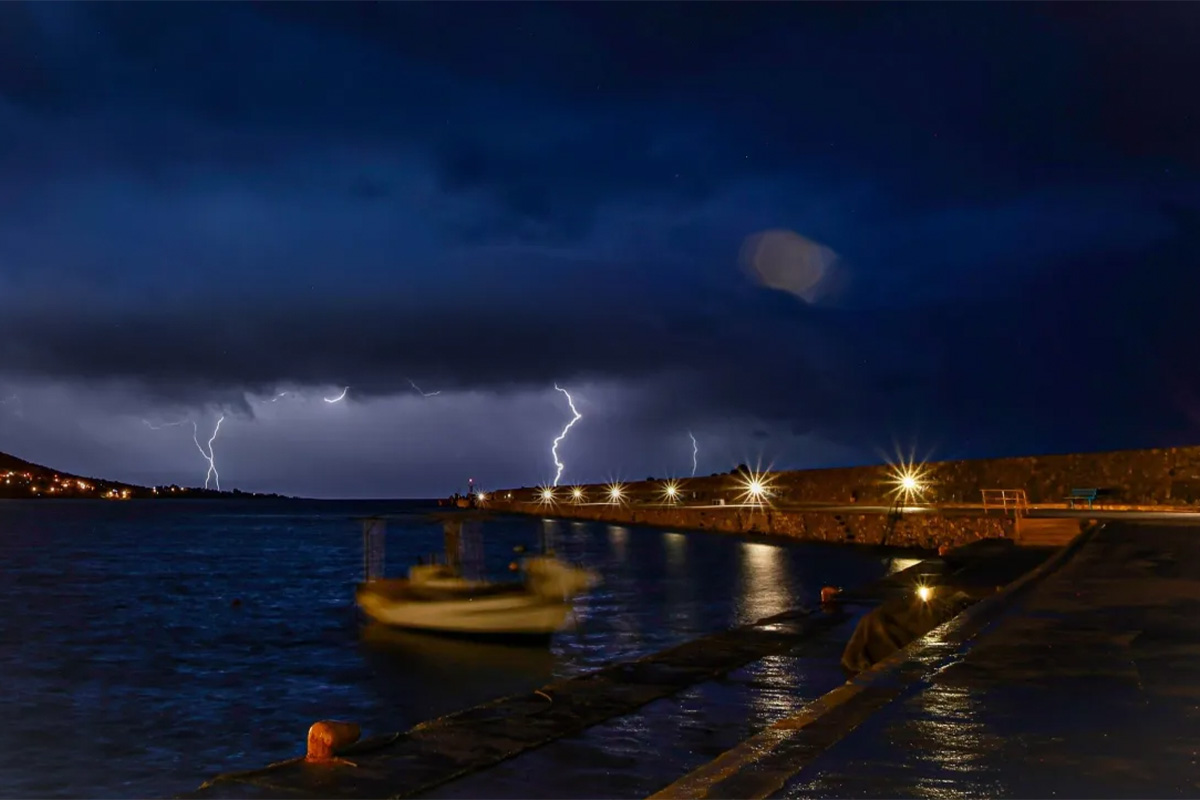
The extreme weather that has been affecting parts of Greece since yesterday, with thunderstorms and hailstorms, is expected to continue through tonight, according to an Emergency Weather Bulletin issued by the Hellenic National Meteorological Service (HNMS).
Meteorologist Giorgos Tsatrafilias highlighted the areas that require special attention in the coming hours, including Zakynthos, Epirus, Phthiotis, the Sporades, Halkidiki, Thessaloniki, Grevena, and Trikala.
Speaking on ALPHA TV, Tsatrafilias reported that over 60,000 lightning strikes and flashes of lightning were recorded in the last 48 hours, with most occurring over the sea.
Multicellular storms expected
Weather phenomenon analyst Theofanis Chatzigrivas warned of “multicellular storms” anticipated to occur during the late evening hours of Tuesday.
These storms are characterized by their long duration and consist of multiple “cells” at different stages within their life cycle.
“The bad weather isn’t over yet. We expect a shift in the convergence zone, which will result in the multicellular storms producing intense rainfall through the night in the same regions. Particular focus will be on the southern Ionian Sea (Lefkada and Zakynthos) and immediately in Thessaly (especially eastern Thessaly and Magnesia). Strong storms may also occur in northern Evia and the Sporades. Hailstorms are also likely, as the cloud tops are reaching very high altitudes,” Chatzigrivas wrote on Facebook.
Regions with the highest rainfall
According to the automatic weather station network of the National Observatory of Athens/meteo.gr, the most intense weather phenomena with the highest rainfall totals were recorded in the western and northern parts of the country. The largest amount of rainfall was recorded in Agrinio (44 millimeters), followed by South Ptolemaida, Kozani (39 millimeters), and Lepiana, Arta (35 millimeters).


