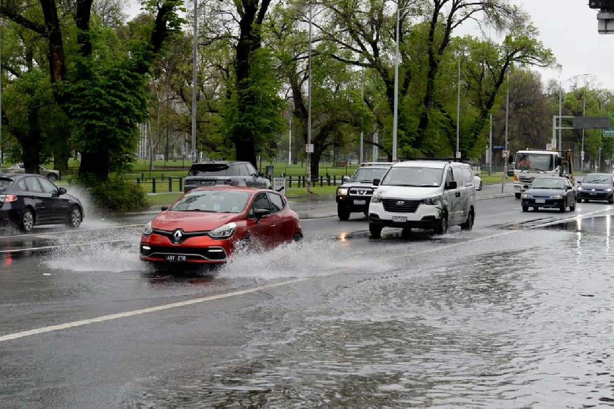
In a landmark shift for urban planning and climate adaptation, Melbourne Water has unveiled a new flood risk register that will classify hundreds of thousands of homes across the city into six hazard categories (1–6).
The register, the first of its kind in Australia, aims to guide suburban development, insurance premiums, and climate resilience planning as extreme weather events become more frequent.
The first flood risk maps released cover the Yarra and Darebin local government areas, assigning each property a rating based on the likelihood of flooding this century. Properties with a low risk (up to 30cm of water) will receive a rating of 1, while those in very high-risk zones—such as riverside or low-lying floodplains—will be rated 6.
Modelled on bushfire danger ratings, the system includes street-by-street analysis of stormwater drains to identify hotspots most vulnerable to rising water levels. Melbourne Water is also expected to nearly double its stormwater maintenance budget in coming weeks to better manage these high-risk zones.
The register was developed in response to the 2022 Maribyrnong floods, which displaced hundreds of families and caused severe property damage.
Water Minister Gayle Tierney said the initiative aims to protect lives and property while enabling construction in safer areas. While some planning restrictions may spark local opposition, the government insists the new data will streamline approvals and clarify risks for homeowners and developers.
Planning Minister Sonya Kilkenny described the register as a tool to improve transparency for councils and industry, while Housing Minister Harriet Shing said it would help ensure high-quality, climate-resilient housing as Victoria continues to grow.
In Darebin (covering suburbs like Preston and Reservoir), the number of listed flood-risk properties will rise from 9,270 to 38,584, though over 32,000 fall in the lowest two categories. In Yarra (Richmond, Fitzroy, Abbotsford), the total will grow from 9,951 to 21,628, with most rated at low or moderate risk.
The draft maps for Yarra and Darebin are open for public consultation from Friday, with more councils set to be added in coming months.


